- Our Programs
Our Programs Menu
Our Programs
Discover programs designed to empower and inspire.
Our Programs
Standards
Research
Compliance
- Our Programs
- Standards
- Research
- Compliance
- About Us
About Us Mega Menu
About us
Get started and learn more about OGC.
About Us
Our People
Governance
Committees
Our Policies
History
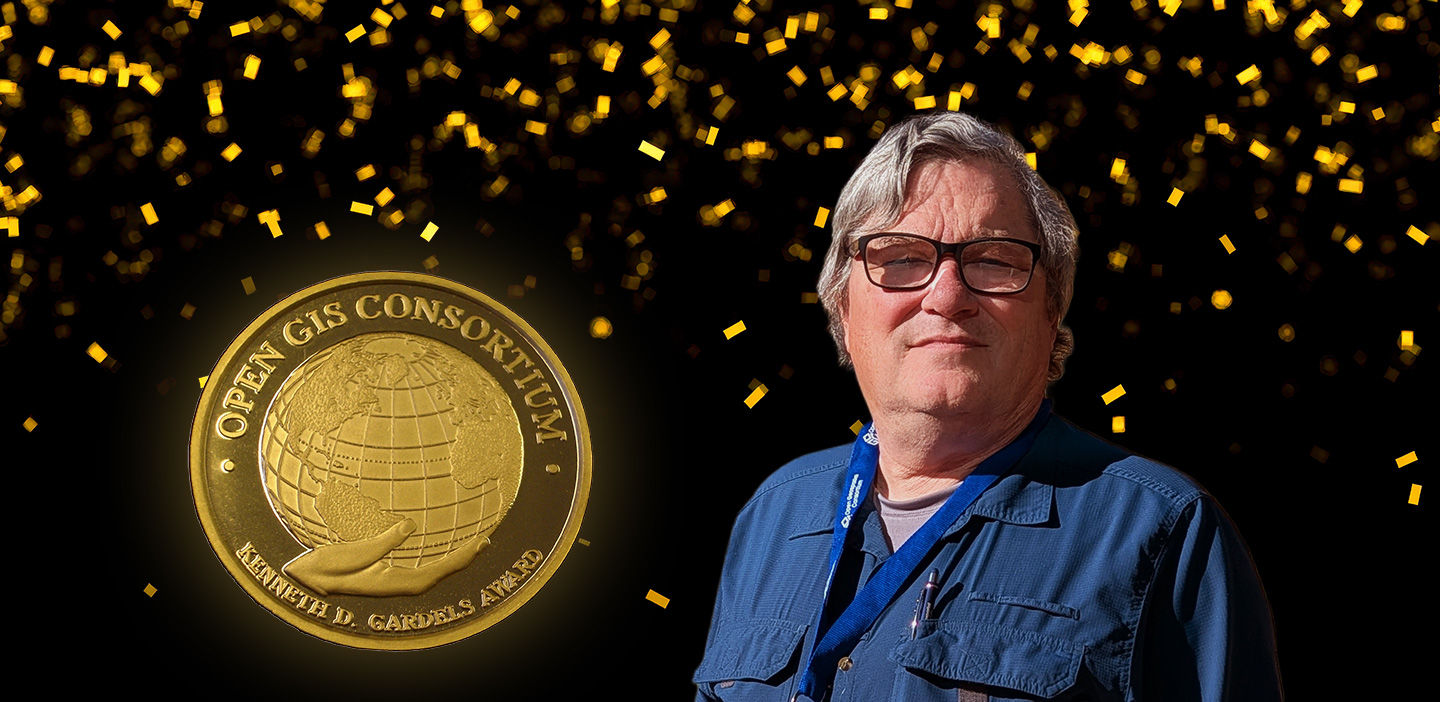
Awards
- Our People
- Committees
- History
- Governance
- Our Policies
- Awards
- About Us
- Membership
Membership Menu
Membership
Explore the value of membership today.
Membership
Member Community
- Membership
- Member Community
- News & Events
News & Events Menu
News & Events
Stay informed and explore the latest News & Events.
News
Events
Sponsorship
- News
- Events
- Sponsorship
- Resources
Resources Menu
Resources
Explore resources to support your journey.
Documentation
Resource Types
Knowledge & Learning
- Documentation
- Resource Types
- Knowledge & Learning
- Contact Us
- Member Login