


Discover programs designed to empower and inspire.
Get started and learn more about OGC.
Explore the value of membership today.
Stay informed and explore the latest News & Events.
Explore resources to support your journey.
OGC is the home of open geospatial standards—and more. We run an agile R&D lab,
certify OGC-compliant solutions, and offer expert advisory services.
OGC Standards are collective, expert thinking on interoperability to maximize the value of geospatial.
Standards provide a fundamental description of the geospatial information being collected at pace, and scale, in the world around us. By implementing OGC Standards, you can describe the way to do something, from telling someone what a data resource is, to who created it, how it can be rendered on a map, and analyzed.
Recognizing that things can be done better, our members work on making it easier to share and use geospatial information. And our next-gen OGC API Standards take advantage of modern web development practices to extend their reach.
Initiatives like testbeds, pilot projects and interoperability experiments are how we advance the wider use of OGC standards.
OGC’s Research program helps drive interoperability though initiatives like testbeds, pilot projects and experiments. OGC Research unites expertise and funding to tackle urgent environmental and societal challenges such as flood and wildfire resilience, the land- sea interface and digital twins.
Sponsored by some of the world’s premier governmental agencies, OGC Research’s collaborative approach accelerates technological development while assessing the maturity of solutions, increasing their acceptance in the market. Over the last two decades, OGC has completed more than 140 initiatives and redistributed millions of dollars to member organizations.
The OGC Compliance Program confirms that products meet OGC Standards. It helps solutions stand out in today’s competitive geospatial market by assuring they will seamlessly integrate with other certified products, no matter the vendor.
More than 300 products and 1,200 implementations are OGC-certified.
Through our Research program we advise governments on issues related to standards and the effective use of geospatial data. Through collective expertise we have helped set up technical/administrative architectures for geospatial data management like Spatial Data Infrastructures (SDIs), shared knowledge by convening workshops and events and published best practice reports.
You’ll find the latest thought leadership from OGC here.
The geospatial world is changing fast. AI is reshaping how data is created...
The Open Geospatial Consortium (OGC), in partnership with the U.S. Federal Geographic Data...
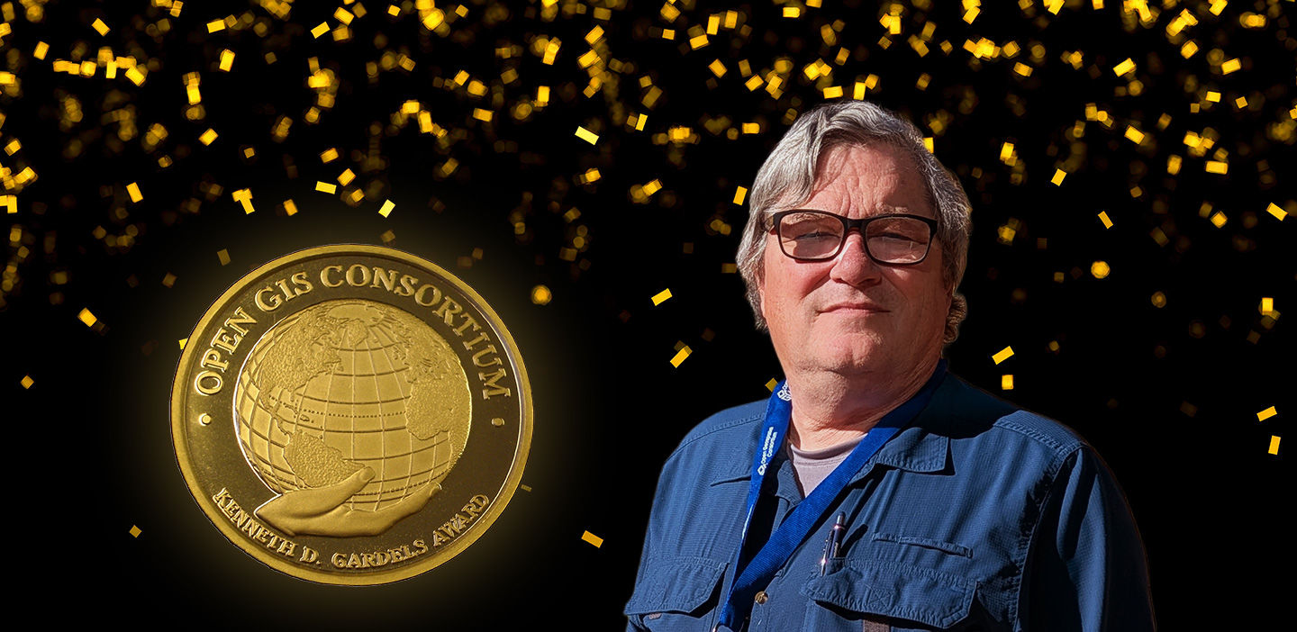
The Open Geospatial Consortium (OGC) is pleased to announce that Keith Ryden, Software...