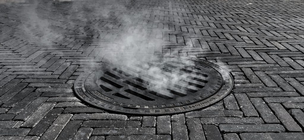
From Ground Zero to Global Change: Alan Leidner on the Power of Underground Data

Alan Leidner shares how 9/11 revealed the need for better underground data—and how that insight led to the global MUDDI Standard for smarter, safer cities.
The Vital Role of Undersea Cable Infrastructure and the Importance of Geospatial Standards

Undersea cables are the invisible lifelines of the global internet, yet they face growing threats—from accidents to sabotage. This article explores how geospatial standards from OGC, including MUDDI, enhance the security, monitoring, and resilience of this vital infrastructure powering global communications and economies.
What Lies Beneath: The Standard Making Underground Infrastructure Smarter and Safer

Discover how the MUDDI standard is transforming underground infrastructure data to build safer, smarter, and more resilient cities from the ground down.
OGC Approves Model for Underground Data Definition and Integration as Official Standard

MUDDI serves as a framework to make different datasets for underground objects interoperable, exchangeable, and more easily manageable.
How OGC Contributes to FAIR Geospatial Data

Standards are a key element of the FAIR Principles of Findability, Accessibility, Interoperability, and Reusability. As such, the Open Geospatial Consortium (OGC) has been supporting the FAIR Principles for geospatial information since its formation 30 years ago. This blog post offers an overview of select OGC Standards and components that support FAIRness in geospatial data.