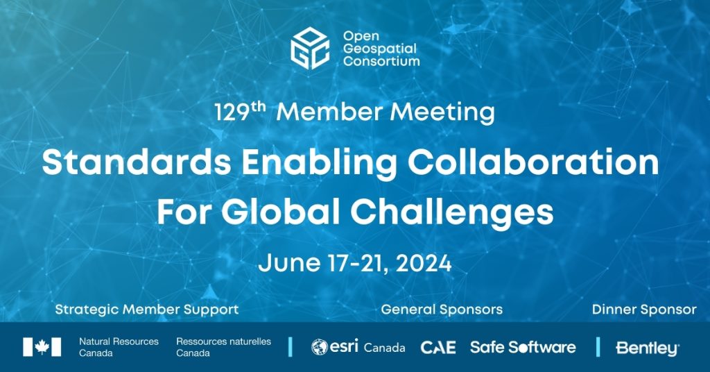
Standards Enabling Collaboration For Global Challenges

A preview of the 129th Member Meeting, to be held June 17-21 in Montreal, Canada.
Natural Resources Canada receives inaugural OGC Community Impact Award

New award recognizes OGC members who, through exceptional leadership, volunteerism, collaboration, and investment, have positively impacted the geospatial community.
Paving the way forward for Building Energy Mapping and Analytics

This Article was Contributed by Eddie Oldfield, Senior Lead, Projects & Advisory Services, QUEST; Jessica Webster, Energy Planning Analyst, Natural Resources Canada; and Ryan Ahola, Environmental Scientist, Natural Resources Canada – Introduction – The Challenge Building energy mapping and analysis are critical for geo-targeting energy policies and programs to accelerate the transition to a low-carbon […]
How’s the weather up there?

One of Canada’s oldest government institutions, MSC, is also one to keep up with the times by using the latest technologies in its quest to help Canadians make informed decisions about their health and safety and economic prosperity.
Reflecting on the May 2021 OGC API Code Sprint

APIs have proven to be a popular and very effective enabler of rapid software development. This is more so in web mapping, where a combination of cartographic and software development skills is often needed to create maps for a global user base. As part of OGC’s on-going development of the OGC API suite of standards, OGC […]
Evolving Spatial Data Infrastructure
Spatial Data is distributed across users, tools, and regions for a variety of purposes via Spatial Data Infrastructure (SDI), but there are additional economic and societal benefits that can be unlocked. SDIs are created to streamline people, process, technologies, and deliver a wide array of data. With new challenges posed by 21st century technologies and […]