Developers Invited to the 2023 Open Standards and Open Source Software Code Sprint

OGC, Apache Software Foundation, Open Source Geospatial Foundation, and Camptocamp co-host annual code sprint to advance open geospatial standards.
Ordnance Survey GB and Next Generation OGC API Standards
Pairing Ordnance Survey’s new, easier-to-use data with OGC’s new easy-to-use OGC APIs, OS has launched the OS NGD API – Features product, which provides access to daily-updated, next-gen data, with powerful filtering capabilities.
OGC seeks Public Comment on v1.1 of OGC API – Environment Data Retrieval Standard
The OGC API – EDR Standard makes it easier to efficiently access a wide range of geospatial or spatiotemporal data through a uniform, well-defined, simple Web interface.
OGC to form new GeoParquet Standards Working Group; Public Comment sought on Draft Charter
GeoParquet adds geospatial types to Apache Parquet to serve as an efficient cloud-native vector data format.
OGC Announces new Geo for Metaverse Domain Working Group
New OGC DWG will help the Location communities collaborate and contribute expertise into building and growing the open Metaverse.
OGC Calls For Participation in its next Pilot to improve Disaster Management and Response
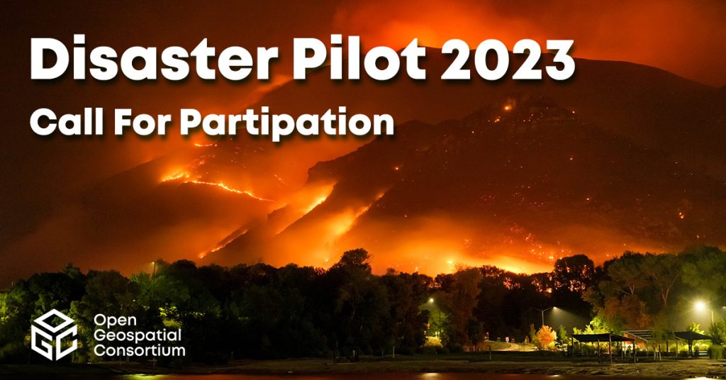
New Pilot will bridge technology and stakeholder engagement to reduce disaster preparation time and accelerate our ability to transform data from observation into decision.