The Latest on Cloud-Native Geospatial Standards in OGC

OGC Chief Standards Officer, Scott Simmons, digs into the elements of the cloud ecosystem that OGC is addressing: interfaces, applications, encodings, and operations.
Evolving Geospatial Technologies Through OGC’s Testbed-17

Decades in the Making: The Challenges of Evolving Technologies and Standards When it comes to evolving a technology or standard over multiple decades, the struggle is real. As time changes, so do requirements, use cases, and the need for scalability. What was once a centerpiece to a core infrastructure or service can become dated months […]
Evolving Spatial Data Infrastructure
Spatial Data is distributed across users, tools, and regions for a variety of purposes via Spatial Data Infrastructure (SDI), but there are additional economic and societal benefits that can be unlocked. SDIs are created to streamline people, process, technologies, and deliver a wide array of data. With new challenges posed by 21st century technologies and […]
Five Things Location Tech Can Do Before the Next Pandemic
Article contributed by Jessie Abbate, PhD, Infectious Disease Ecologist, Epidemiologist, and Geospatial Data Scientist at Geomatys – During its March 2021 members meeting, the Health Domain Working Group (Health DWG) of the Open Geospatial Consortium (OGC), the world’s most comprehensive geospatial tech and standards community, convened a Health Summit to collectively ask how geospatial tech and location-based data can […]
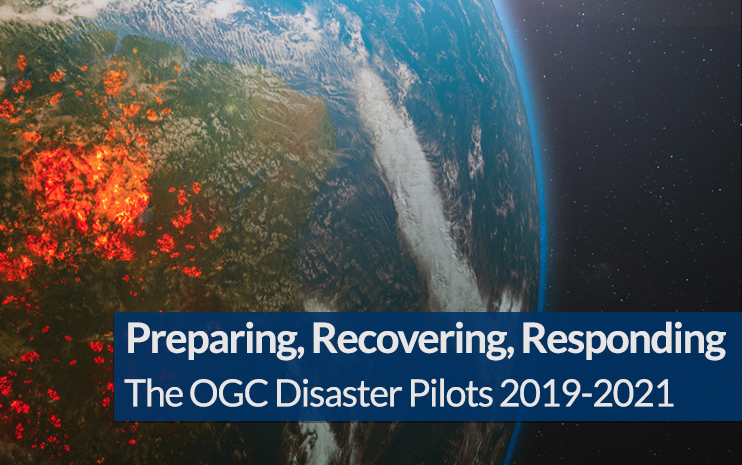
OGC Disaster Pilots work to address floods, fires, landslides, and epidemics with better information sharing.

The last three years have been unprecedented when it comes to disasters. In 2019 alone there was billions of dollars’ worth of damage, and thousands of fatalities were caused by hundreds of catastrophes ranging from earthquakes to wildfires. To address this decades-long trend of ever larger and deadlier disasters, OGC and the greater location information […]